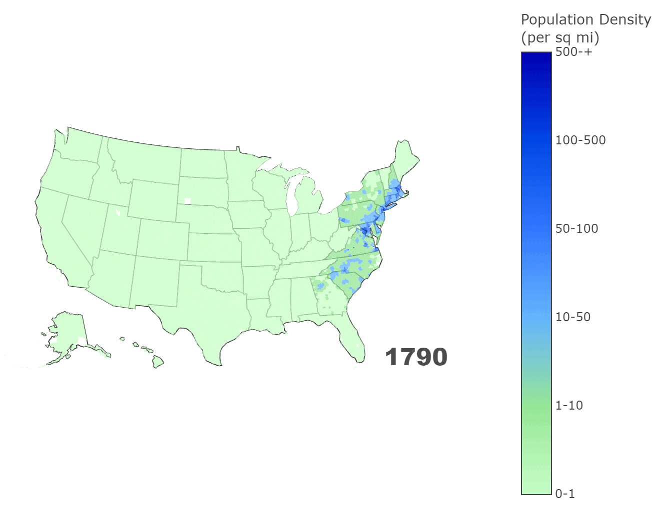
US Population Density Growth Over Time
This application demonstrates how the population density of US counties evolved from 1790 to 2020, using the US Census Bureau's 2019 ACS data as a baseline, and applying exponential decay for earlier decades. The interactive map allows you to explore density changes nationwide over time.
Features
- Interactive timeline slider to select any decade between 1790 and 2020
- County-level choropleth showing density categories from rural to highly urbanized
- Tooltips on hover displaying county name, state, and density metrics
- Local caching of geometry and population data to improve load performance
- Ability to download static PNG images of the current map
Technical Stack
- Python (Streamlit) for rapid web-based data apps
- Pandas and NumPy for data manipulation and exponential decay modeling
- GeoPandas for shapefile processing in Albers Equal Area projection
- Plotly for interactive choropleth maps and integrated exporting
- Census Bureau ACS API for baseline population data
- Requests for fetching geometry and shapefile zip data